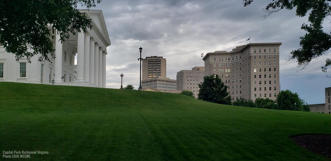
Richmond Area Photos
Photos by Erik Weems - for prints: prints@erikweems.com
Last Update: October 27, 2025
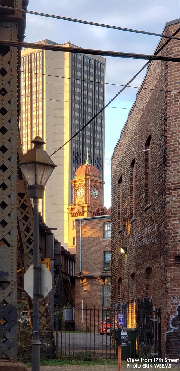
Old train station clock tower viewed from 17th street in Richmond.
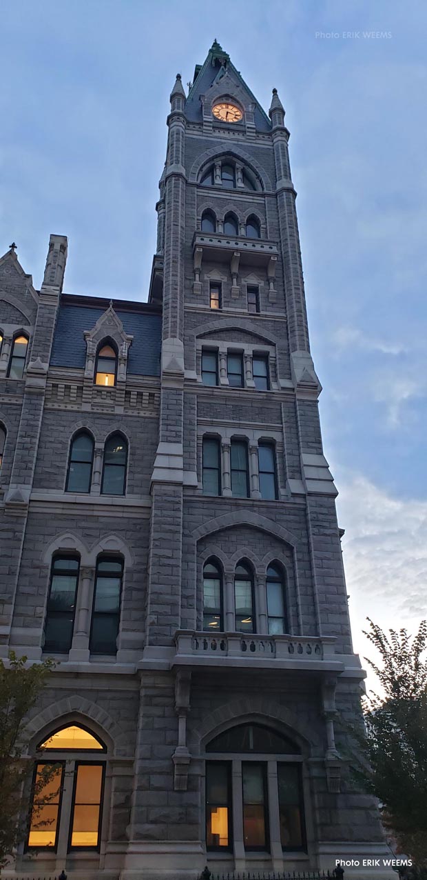
The old Richmond City Hall on East Broad Street
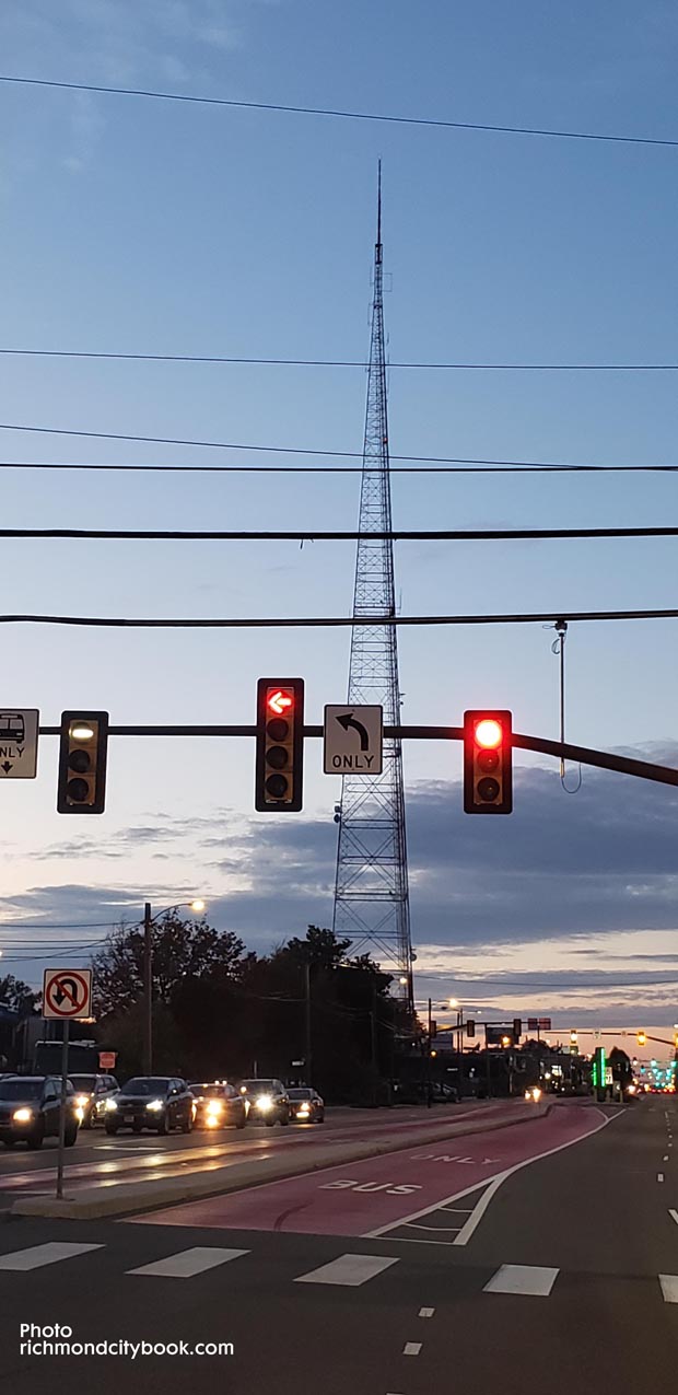
The WTVR Radio Rower originally built 1953, on Broad Street

Photos by Erik Weems - for prints: prints@erikweems.com
About Richmond and Virginia
The Commonwealth of Virginia is often called the "Old Dominion" and is the source of much of the oldest history of the United States. Sometimes referred to as the "Mother of Presidents" because of the eight U.S. presidents which have come from the state.
Population
Like all Virginia municipalities incorporated as cities, Richmond is an independent city and not part of any county.
2025 population 230,787 (estimated)
2025 metro area population: 1,162,000 (estimated)
2020 census population count 226,610
2010 census population count 204,214 people
The entire "Richmond Metropolitan Area" crosses into 9 counties.
Land Mass
Richmond land mass is 62.5 miles, of which 4% is water. The climate conditions for the city are categorized as humid subtropical climate, with hot, humid summers and generally mild winters.
